placeholder image

Visualization & Modeling Showcases

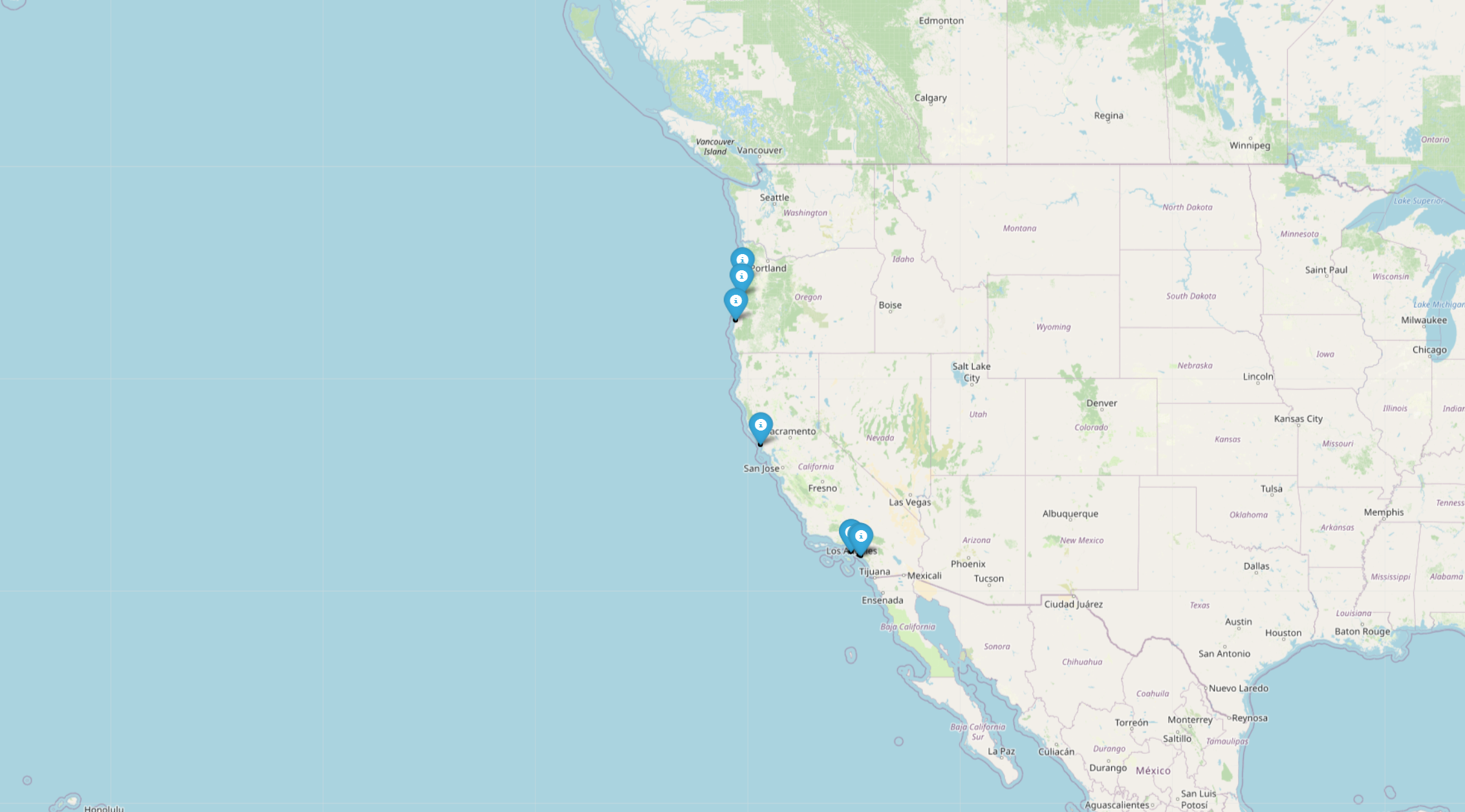
Site Searching Map

An interactive map displayed using Geopandas. The visualization dependency is OpenStreetMap. With a searching function and site labels on this map, users are easily able to find the site's basic location with latitude and longitude information. In addition, each site label is combined with a link to the detailed visualization page.
Featured Site: Bogeda

Bodega is located in the North Central Coast region of California and is within the Bodega Marine Life Refuge Area of Special Biological Significance and Bodega Head State Marine Reserve. The site, amidst granite, boulder fields, and cobble beach, is a hub for ongoing research, drawing researchers for its ecological significance in a diverse coastal environment.

Machine Learning: Single Species Prediction

We used logistic regression and random forest machine learning techniques to model the species distribution by mean sea level rise (Mean(z_rock_height)). Logistic regression and random forest models were used to perform binary classification task by identifying specific species distribution probability.

Machine Learning: Multi-Species Prediction

We utilized neural networks machine learning techniques to model the species distribution by mean sea level rise (Mean(z_rock_height)). This neural networks model performed multi-class regression to do species distributions for five categories across eight sites.